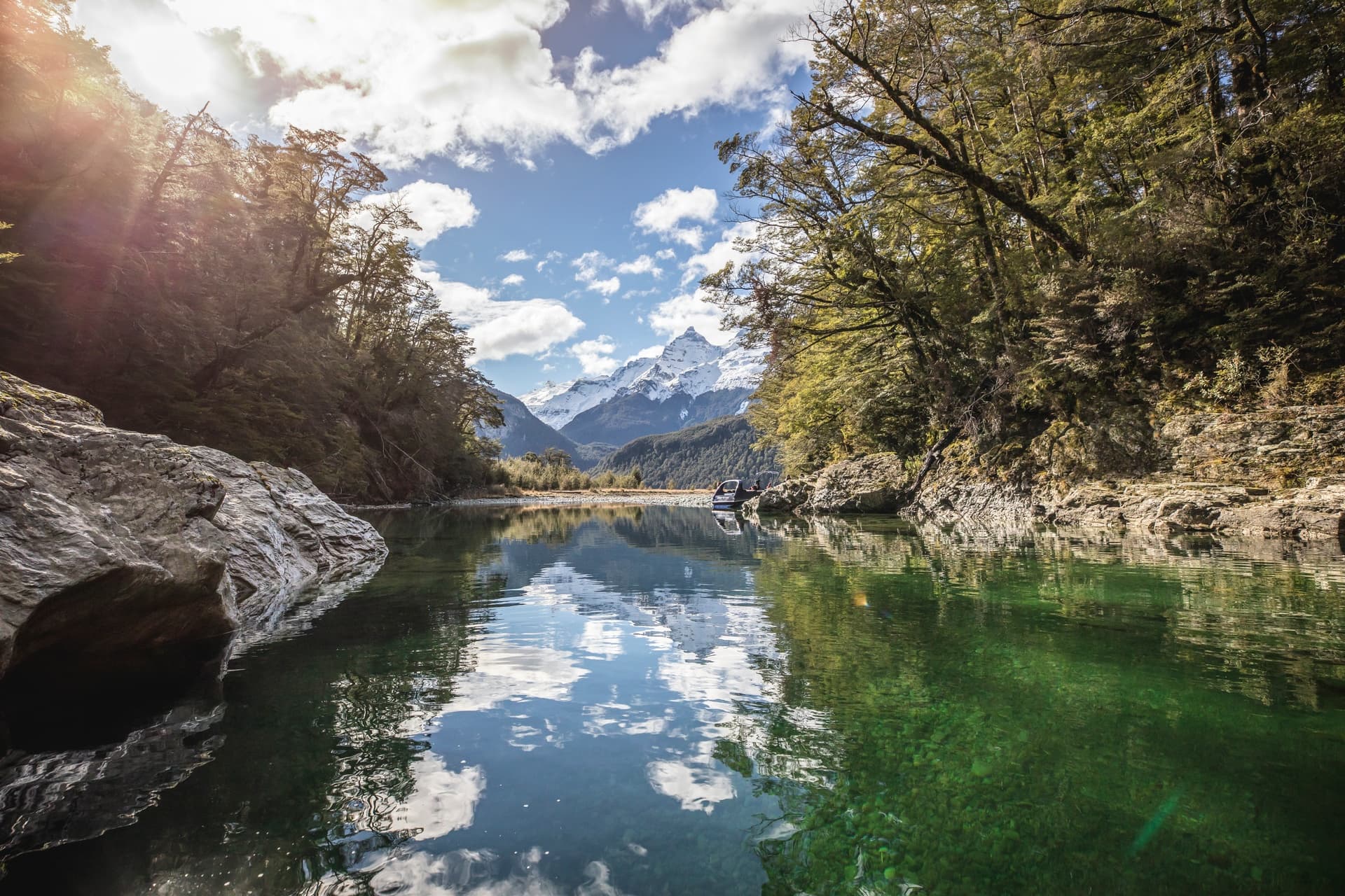
The Routeburn track is on many of our “I’ve been meaning to do that” list and can be included in a Fine Travel Southern Experiences itinerary.
About the Routeburn Track
The Routeburn Track traverses wild and scenic mountain country between the Hollyford and Dart Valleys at the base of New Zealand’s Southern Alps. Since the 1880’s the Routeburn Track has proved to be one of the most accessible and popular journeys into New Zealand’s forests and mountains. The Routeburn Track passes through two national parks, Fiordland and Mount Aspiring, and is part of Te Wahipounamu, South West New Zealand World Heritage Area.
The area is a haven for native birdlife: The Robin, Fantail, Parakeet, Bellbird, Yellowhead and watch out for the resident Kea at Routeburn Falls! The variety of landscapes will also astound you: Mountainous peaks, sheer rock faces, alpine basins, pristine lakes, cascading waterfalls, luxuriant forest, turquoise rivers and million-dollar views around every corner.
How Long is the Routeburn Track Walk?
The itineraries we discuss here are based on a guided walk (rather than doing it yourself) and are 3 day / 2 night Queenstown to Queenstown all-inclusive walks. The packages generally include all transport, private or shared accommodation in custom built lodges, meals, snacks, backpacks and rain jackets and you will be led by expert Ultimate Hikes guides. As an indication a walking itinerary would generally include:
Day 1 Queenstown to the Divide to Lake Mackenzie – 14km (8.7miles) 5-6 hours walking
Your adventure begins with a coach ride from Queenstown to the Divide on the scenic Milford Road. Begin your hike up a well-graded trail until you get above bush line, then take a side trip up to Key Summit.
Descend to Lake Howden for lunch, before continuing steadily upwards to the magnificent Earland Falls. Further along the trail, the snow-capped peaks and glaciers of the Darran Range come into view before you make your descent to Lake Mackenzie Lodge. (Includes lunch and dinner).
Day 2 Lake Mackenzie to Routeburn Falls via Harris Saddle – 15km (9.4miles) 5-6 hours walking
You leave the emerald waters of Lake Mackenzie; climb the zigzag above the bush line and cross the Hollyford face with its dramatic alpine landscape. After crossing the Harris Saddle and skirting Lake Harris, you descend into an immense alpine basin, which is alive with summer flowers. Continue to Routeburn Falls Lodge. (Includes breakfast, lunch and dinner)
Day 3 Routeburn Falls to Routeburn Road End to Queenstown – 10 km (6.1 miles) 3-4 hours walking
The trail descends from the Routeburn Falls to the alpine meadows of the Routeburn Flats. Pass crystal clear river pools and enter the forested gorge, opening to the lowlands. Coach back to Glenorchy and then on to Queenstown.

Where You Will Stay on the Routeburn Track
The Routeburn Track lodges have been purposely designed and built and all lodges have drying rooms, flush toilets and hot showers complete with soap, shampoo and conditioner. The lodge kitchen treats you with a three course dinner and cooked breakfast. Accommodation is in a private room with queen or twin bedding or bunk bed rooms sleeping up to 4.
How Fit Do You Need to Be to walk the Routeburn track
A reasonable level of fitness is required to walk the Routeburn track – but this will differ for each individual. Your guides, Ultimate Hikes, provide this helpful article: Am I fit enough for this walk
It includes helpful tips for training, including how much you should practice carrying in your pack.
A South Island Experience
Walking the Routeburn Track can be a standalone experience or part of a more comprehensive South Island holiday. Examples of these itineraries include our:
- Routeburn Track Guided Walk and Southern Highlights
- Routeburn and Southern Wilderness Experience
- Hike the Routeburn, Drive the South
You can view these itineraries and indicative pricing as a starting point as we can customise the itineraries to suit your needs (such as length of time, quality of accommodation, other activities).
